Wednesday, May 25, 2011

After the Tornado - Day Two Pics

Photos and text by John Mallinak

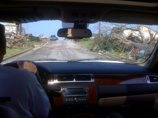
Here is video taken while driving along 26th street, looking north.


The view from inside my car
 

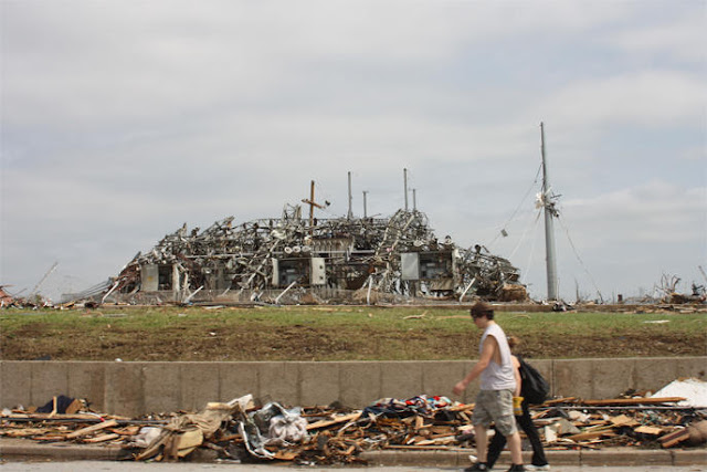
These two pictures are of the hospital--St. John's--that was featured on TV from the west.
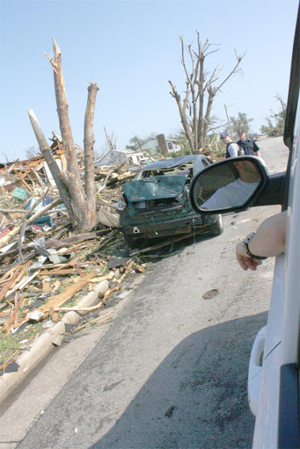
These views are from the east and from a few blocks north.

St John's hospital, looking from the east
 
St John's hostpital, from the north at 23rd and Annie Baxter
 

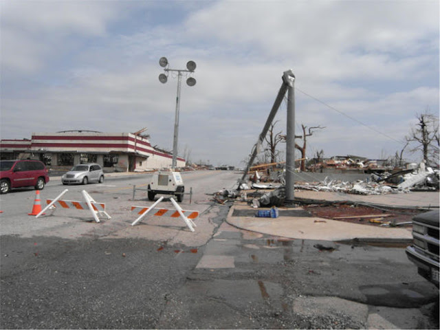
Here are a few pictures from 26th street, looking east.

26th street, looking east
 
26th street, looking east
 
26th street, looking east
 
26th street, looking east
 

These were taken at ChristPointe Church (PCG) at 23rd and Annie Baxter, just a few blocks NE of the hospital.
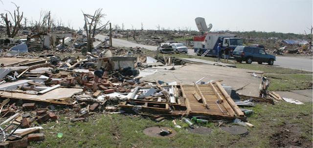
This is the site of one of the neighborhood feeding stations as well as a worksite.

ChristPoint Church, 23rd and Annie Baxter, alley to the south
 
ChristPoint Church, 23rd and Annie Baxter
 
ChristPoint Church, 23rd and Annie Baxter
 

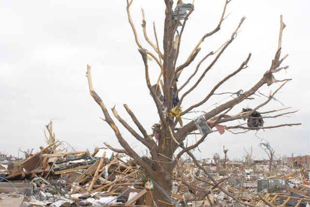
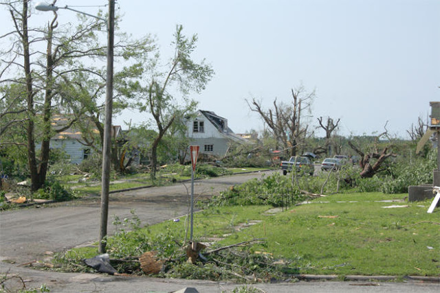
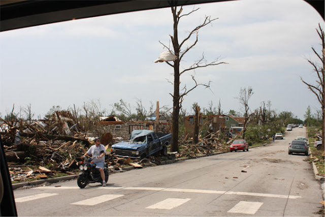
These were taken just north of where a PCG Disaster Relief crew is working on Iowa and just south of the site of the high school.

Debris in a tree
 
Barkyard and bedroom of a damanged house
 
Bedroom of a house near the high school
 
Near the high school, looking north
 

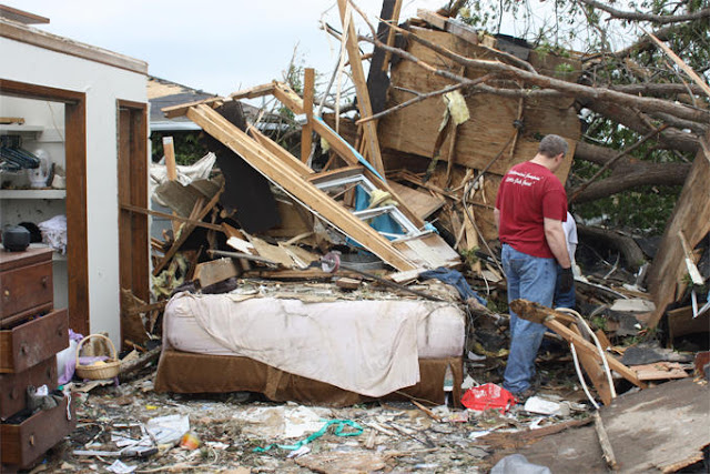
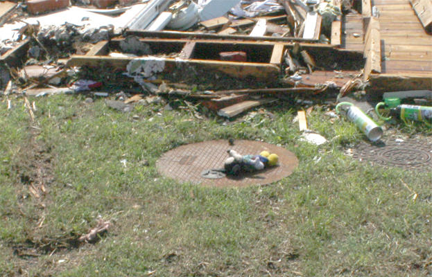
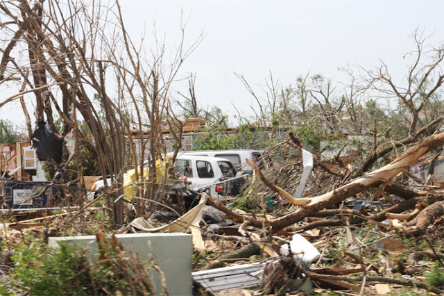
These were taken between the hospital and the church in just a few blocks.
There are still power lines down and live wires wrapped up in trees.
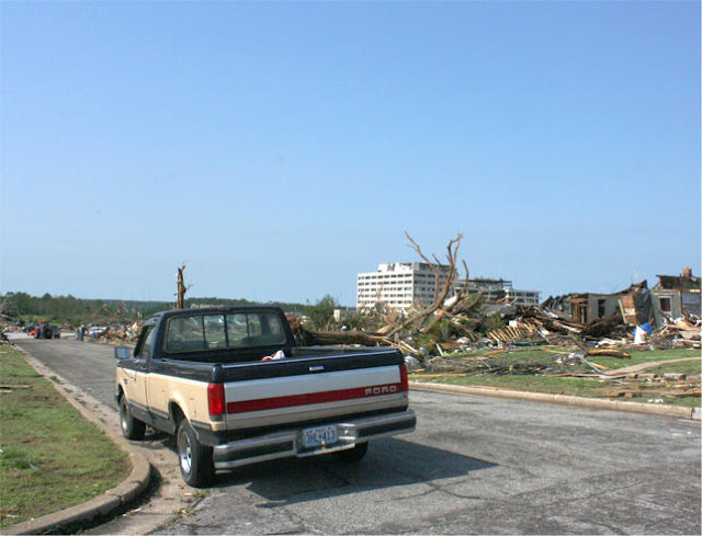
The fourth pic shows another view of St Johns from the north.

North of 26th street
 
North of 26th street
 
North of 26th street
 
North of 26th street
 
North of 26th street
 
North of 26th street
 
North of 26th street
 

Here are photos taken during a ride from 26 and McClelland and 26 and Main and then to the east of main.

26 and main looking north.
 
26th street, driving east
 
26th street, driving east, power grid station
 
26th street, driving east, elementary school
 
26th street, driving east
 
26th street, driving east
 
26th and main

No comments:

Post a Comment